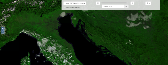
Geo Viewer
With the Geo Viewer you can view the PROBA-V data in full resolution.
Currently the application includes PROBA-V 1 km data, the S5 TOC Color 100 m data, the S10 TOC Color and NDVI for 300m and 1km data and derived vegetation parameters (FAPAR and LAI) from the Copernicus Global Land Service (http://land.copernicus.eu/global).
In the next months more PROBA-V data (300 m and 100 m ) and derived vegetation parameters will become available.
For the available data: see Geo Viewer Data Sources.
Important: by the end of 2021, the current geoviewer will become deprecated and will be replaced. The new viewer is already available under the following url: https://viewer.probav.vito.be/probav.
Direct Web service access
The Geo Viewer is backed by OGC standard based Web services. It is possible to access these Web services directly using a simple web browser, or desktop tools such as QGis.
The following services are currently available:
Geo Viewer web services